
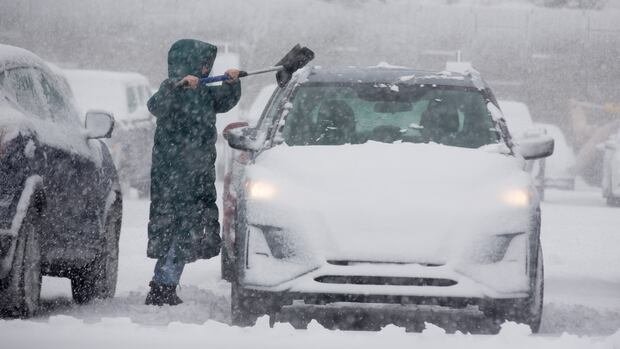

A new wave of winter weather is sweeping through Nova Scotia and P.E.I. on Sunday, extending into Monday, bringing more snow, strong winds, and plunging temperatures.
A coastal storm traveling just south of the Maritimes is predicted to rapidly intensify over Sunday and Monday, potentially becoming a weather bomb by dropping over 24 millibars of pressure within 24 hours. This quick strengthening is expected to result in a more severe storm for the eastern Maritimes compared to the western regions, with heavier snowfall and more powerful winds. The system is also forecasted to impact Newfoundland.
The most substantial snowfall is anticipated in northeastern Nova Scotia, with expected accumulations ranging between 20 to 40 centimeters. Localized areas, particularly in the Cape Breton Highlands, may receive up to 50 centimeters of snow. Environment and Climate Change Canada has issued winter storm and snowfall warnings, along with special weather statements for certain parts of the Maritimes.
While lesser snow amounts are likely elsewhere, Nova Scotia could face disruptive snowfall of around 10 to 15 centimeters. In P.E.I., snowfall totals are projected to vary from nearly 5 to 10 centimeters in the west to 20 to 30 centimeters in the east. The combination of snow and gusty northwest winds may lead to travel disruptions across both provinces.
Southeast New Brunswick, including Moncton, might experience snowfall ranging from 5 to 10 centimeters. Northumberland Ferries and Marine Atlantic have already announced service delays and cancellations between Nova Scotia, P.E.I., and Newfoundland due to the impending storm.
The storm’s timeline indicates that snowy conditions will escalate throughout Sunday in Nova Scotia and P.E.I., becoming more consistent into the evening and overnight. Some regions along the Atlantic coast could see a mix of rain in addition to snow. Winds are expected to intensify overnight, particularly shifting to the northwest.
By Monday morning, the heaviest snow is likely to move away from southwestern Nova Scotia, with Halifax, the south shore, and the Annapolis Valley potentially experiencing lingering flurries and blowing snow. Winter storm conditions are forecasted to persist on Monday morning in northeast Nova Scotia and P.E.I., accompanied by heavy snow and strong winds.
Travel could be hazardous along Highway 104 and other regions due to snow and blowing snow. Conditions are expected to gradually improve throughout Monday afternoon in Nova Scotia and P.E.I., with lingering flurries and gusty winds causing blowing and drifting snow. Gusty northwest winds will continue into Monday evening before diminishing overnight, ushering in cooler temperatures.
Temperatures are set to decrease during Monday and overnight, with wind chills ranging from -15 to -20 across Nova Scotia. However, temperatures are expected to rise again in the following week, possibly accompanied by rain.