
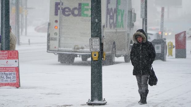

Bundle up, residents of London as meteorologists are predicting that Monday’s recent onset of wintry conditions is just the start of what promises to be a particularly active season ahead. Environment Canada has issued alerts for blizzard-like circumstances anticipated to persist until Tuesday. At London’s airport, numerous flights have been either canceled or delayed.
Motorists are once again urged to exercise caution on the roads as the area grapples with a heavy snowfall in the morning followed by powerful lake-effect winds, according to Gerald Cheng, a meteorologist at the weather bureau. Cheng cautioned, “It poses hazardous driving conditions, indeed. Please exercise extreme caution, as the warmest period of the day has already elapsed. We reached up to 11 degrees, surprisingly, overnight, but that time has passed, and we are now back to sub-zero temperatures.”
The Ontario Provincial Police (OPP) have shut down Hwy. 402 Westbound at Col. Talbot Road due to a transport truck that jackknifed, and motorists are advised to anticipate delays on the highway throughout the day. Cheng noted that any slush formed overnight has likely frozen into ice, resulting in slippery surfaces on roads and walkways.
Moreover, there is a possibility that wind gusts reaching up to 90 km/h could cause additional power outages, following the city’s recovery from an ice storm on Boxing Day. Cheng remarked, “It has been a very active weather pattern. This is just the start of winter and the arrival of colder temperatures this week. We must be more prepared.”
An estimated 40 centimeters of snowfall is projected by Tuesday, with a wind chill of -18°C expected on Tuesday morning. Wednesday’s high is forecasted to be -5°C, followed by -9°C on Thursday.